Southwest Road Trip Part 2 The Grand Canyon National Park

Grand Canyon Day 1
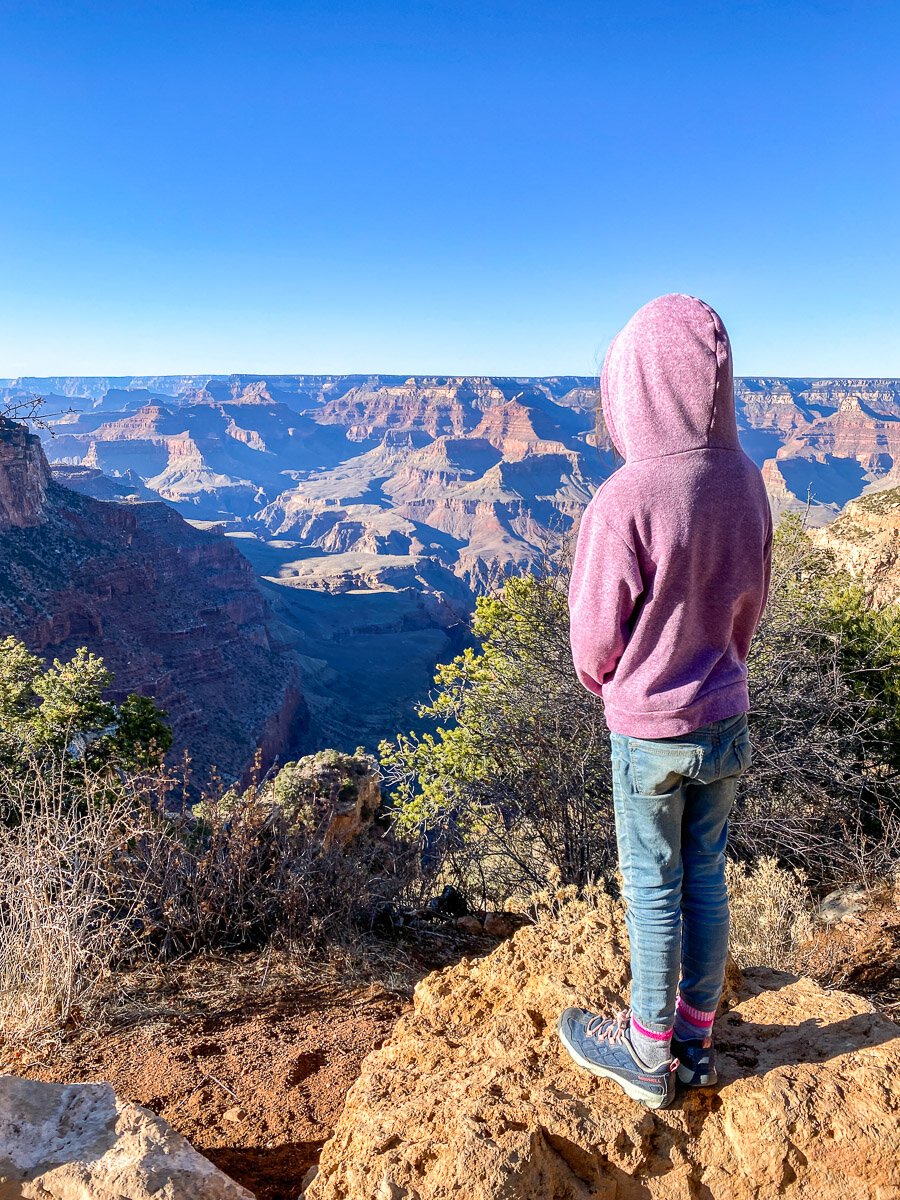
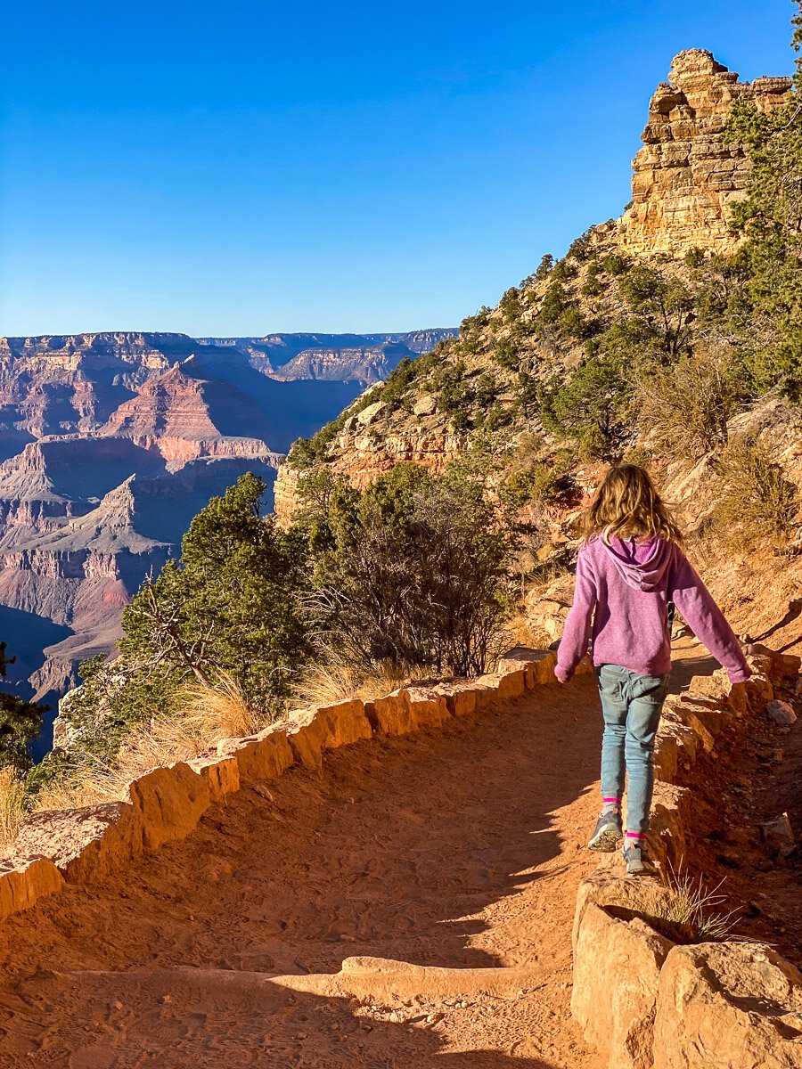
South Kaibab Trail
We began our Grand Canyon Day 1 actually at the end of the day after traveling from Needles, CA. If you’re interested in our driving path from Los Angeles to Grand Canyon, see the previous post on Southwest Road Trip Part 1, Los Angeles to Williams, AZ. After doing extensive research the night before about the Grand Canyon and which trails would be the emptiest to take for sunset, we settled on the South Kaibab Trail on the east side of the park. If you don’t have kids with you, or maybe older kids, you could take this trail all the way to the bottom of the canyon. And if you’re super hard core, this trail can also be used as your starting or ending point to go all the way down to the canyon and then back up ending at the west side of the the park, the more known Bright Angel Trailhead (which we hit up on our second day at the park). If you’re one of those hardcore people (which I honestly can’t wait to be when the kids get a little older) you can see a post about that HERE
“Kaibab” is the Paiute word for the Grand Canyon and means “mountain lying down”. When the Grand Canyon became a National Park in 1919, the popular trails like the Bright Angel were privately owned and charged a toll. The Parks Service tried to purchase the Bright Angel, but it was cheaper just to build another trail, so they built the South Kaibab. Since the South Kaibab Trail wasn’t built by miners who depended on water sources, there is no water along the trail. It was built by engineers to create a smooth and direct route down to the river. It has been described as “a trail in a hurry to get to the river.”
Available on the PRINT SHOP
As a former urban planner, I gotta say, the signage is pretty poor in The Grand Canyon. It’s something a lot of people told me before we went. If you don’t know exactly where to go, you end up just driving into the main village area, looking over the railing at the canyon and then getting back in the car and leaving. So, it’s worth doing some research so you don’t just follow everyone else and see the same thing and feel a bit underwhelmed. It’s easy to just view the canyon from a distance, but it ends up being just that, a view from a distance. The only way to really FEEL the canyon, to be immersed in it’s beauty, is to hike into it. So, if you have the time, I highly recommend doing some hikes in the canyon so you can truly experience it’s greatness. Click for a Hiking in the Park Brochure outlining all the details of the hikes and any info you need to know. Click here for a general pocket map of the Grand Canyon outlining all the services.
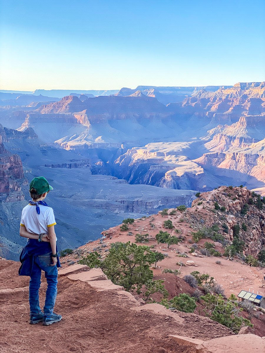
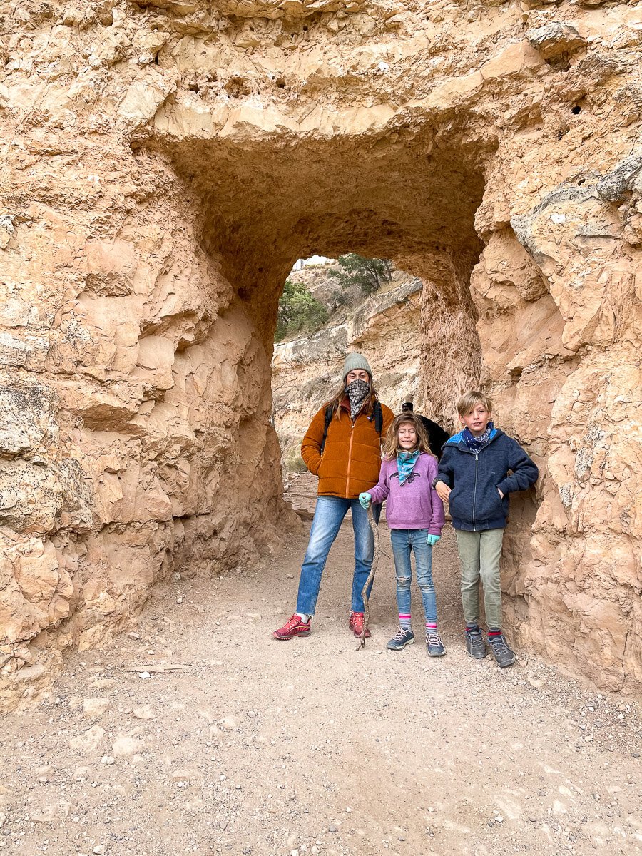
When you enter the park, if you just follow the road, it will take you to the main part of the park. This will be the village and the visitor center, etc. You’ll see the view that everyone sees and be right in the heart of the food and shops and hotels. However, if you turn right at the first stop sign upon entering the park, this will take you towards the east end of the park and the trailhead to the South Kaibab Trail . You can also take the shuttle bus towards yaki point and there is a stop for this trail. There is no running water and no services, so come prepared! I would highly recommend this trail as it’s away from the main commercial center and you kind of have to know where to go to find it, so there are a lot less people on it. This is the second most popular hike in the canyon, however since it’s a little off course, it’s surprising how few people actually make the effort over here. Even on a holiday weekend, it didn’t feel crowded like the main areas of the canyon.
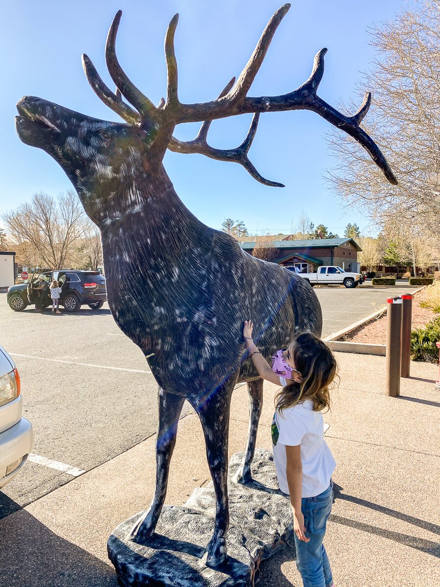
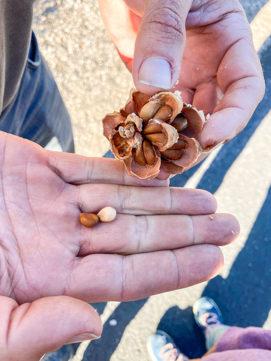
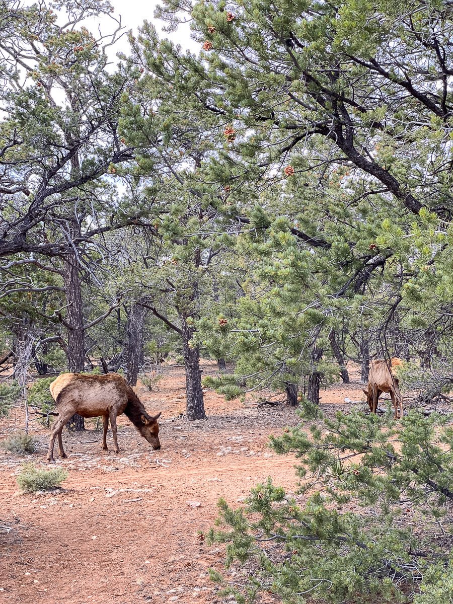
Not sure if this is always the case, but for us, the parking lot on this entrance was closed. It required us to park on the street and kind of feel our way to find a path that led us to the entrance of the trailhead. We did ask some passerbyers as well. As I always say, the in between times are sometimes the coolest as we found a small trail and got to pick out pinenuts from pine cones, see some giant elk meandering through the brush and get some hightop personal views of the canyon. If you need super detailed directions on how to get to this trailhead, head to The Hiking Guy that offers pictures with arrows, as it can be a bit confusing since the road is closed to the public if you’re driving in.
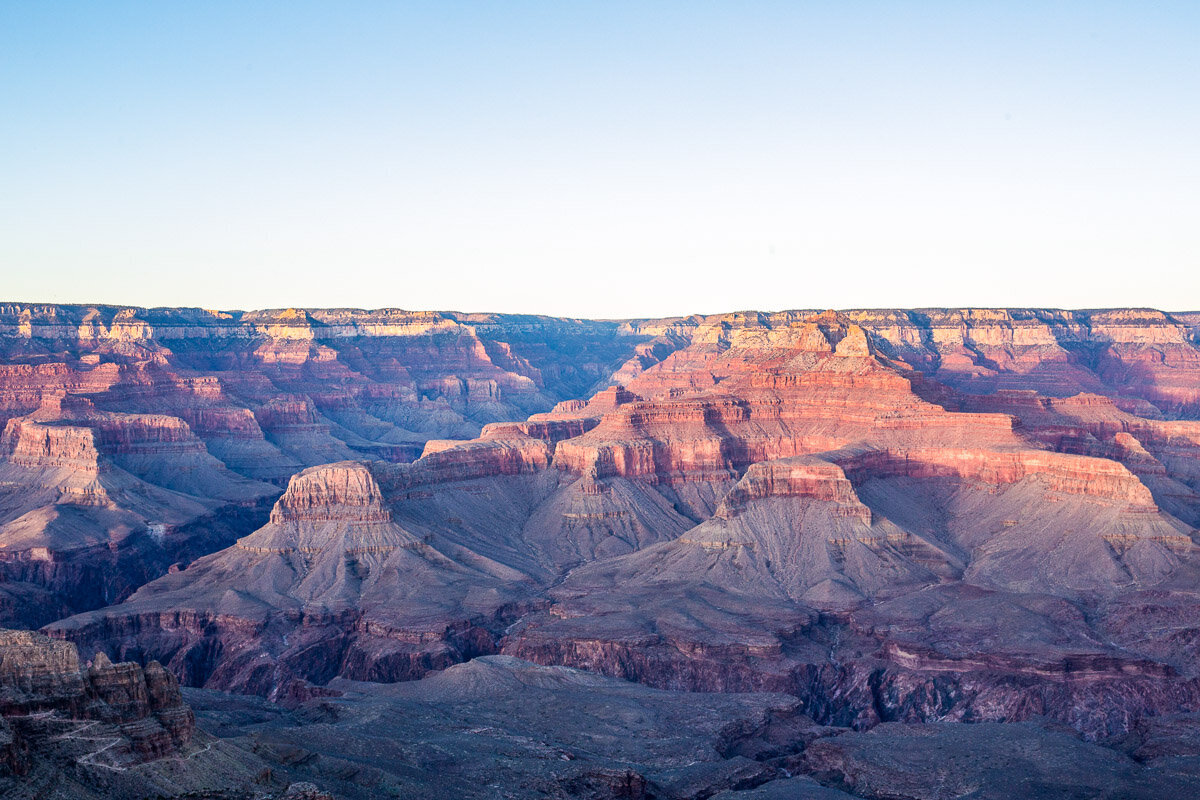
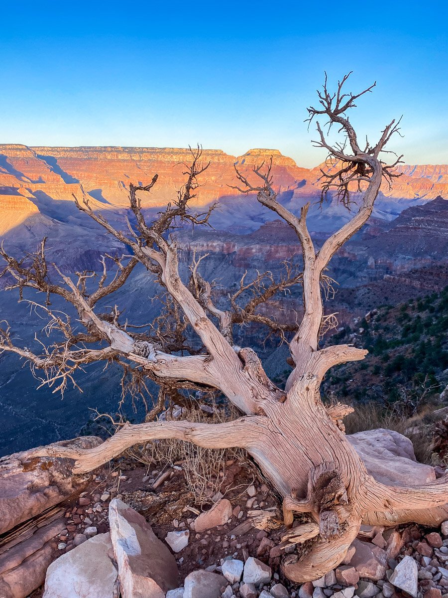
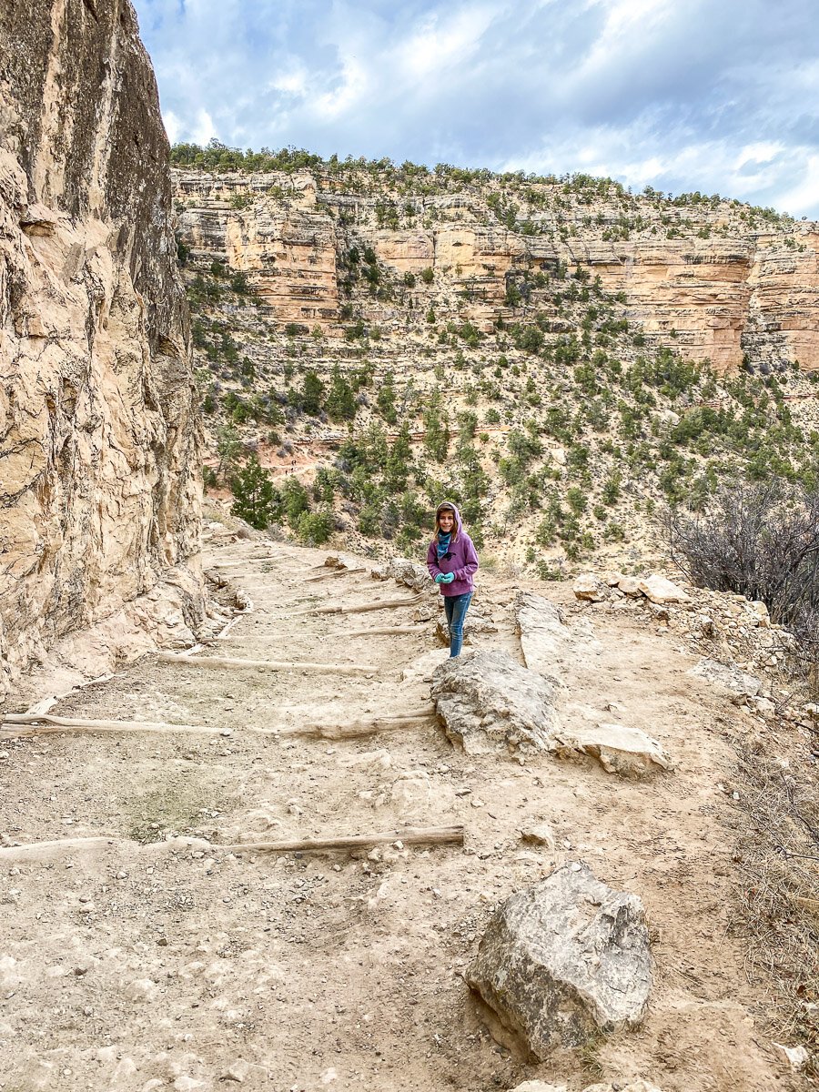
The South Kaibab trail begins in the uppermost kaibab limestone layers. It’s pretty amazing just how quickly you can descend into the depths of the canyon.

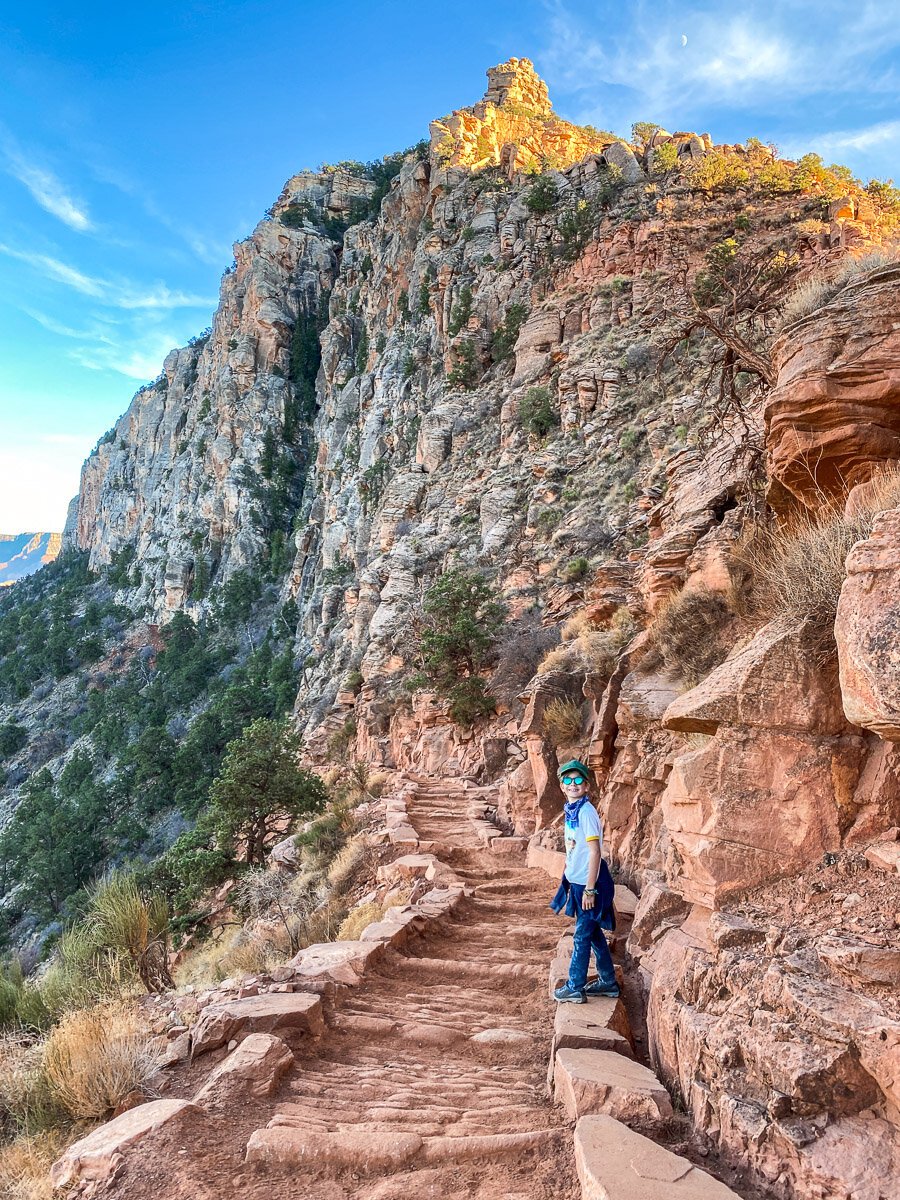
The top of the trail is a bit daunting as you can actually see the steep switchbacks that not only you’ll be going down, but more importantly, knowing you’ll have to come back up!
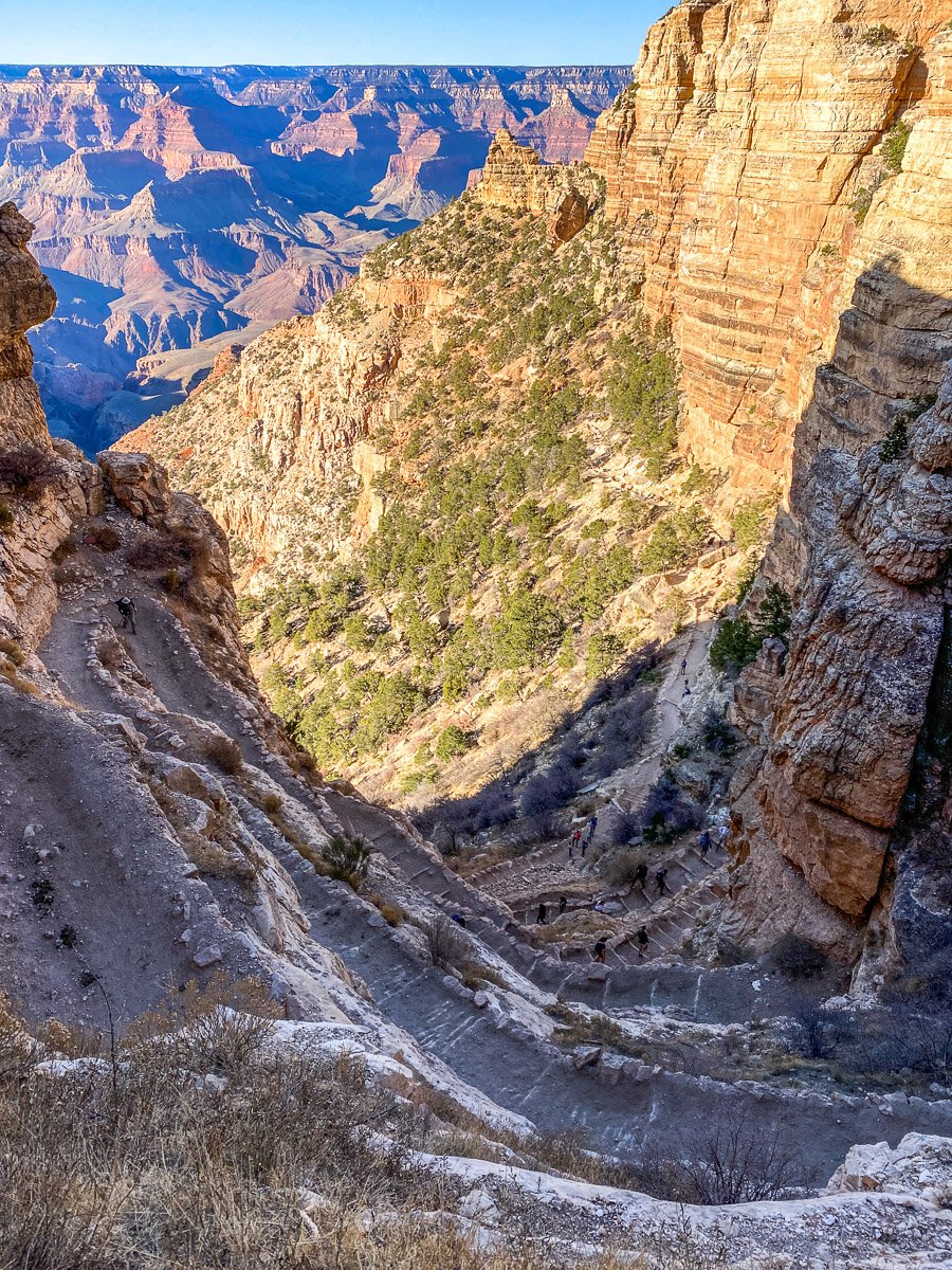
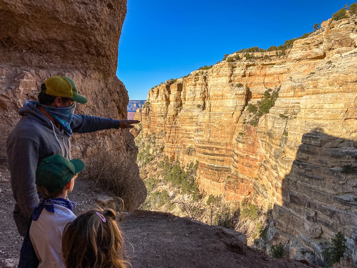
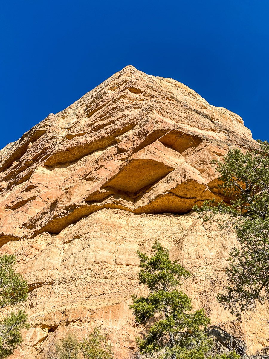
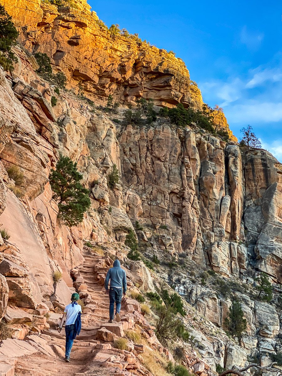
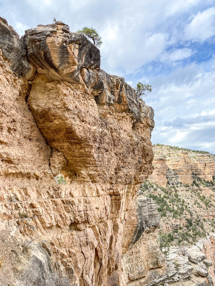
The trail begins with stunning views and steep switchbacks down a section called “The Chimney.” The trail is cut into the Kaibab limestone layer, which is approximately 250 million years old. It is extremely hard rock, which is why the descent is so steep.

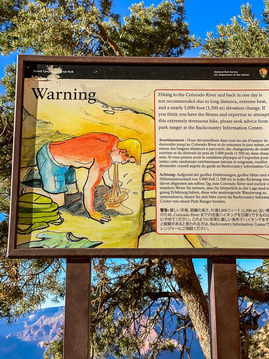
Maybe the most shocking trail sign I’ve ever seen. A man on his hands and knees puking will surely stop you in your tracks to read. Basically, this is high altitude and attempting to go down and up and in one day is not advised unless you are very prepared. The good thing about traveling with kids, this will probably not be happening to you as the kids won’t allow you to go that far, ha! But, this was an important safety reminder.
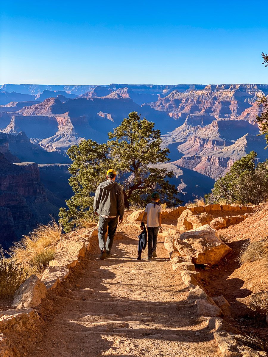
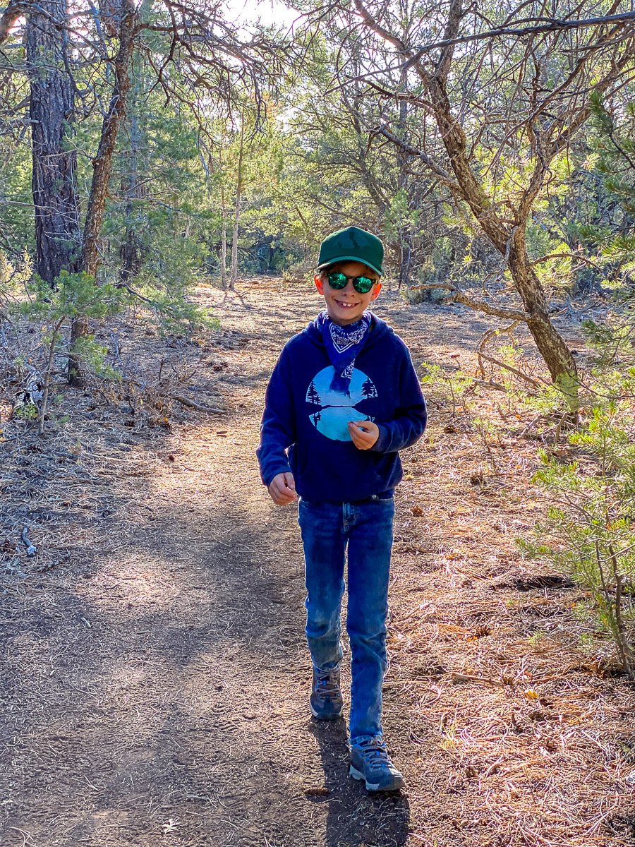
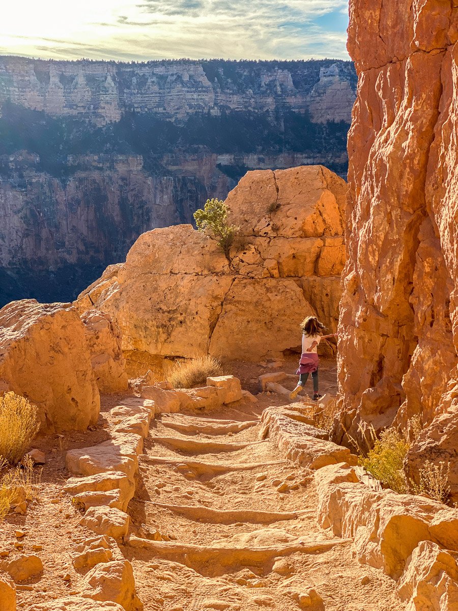
My favorite hiking trails are those that are made in dirt, feeling the earth directly under your feet has a whole different feel than the concrete path that breaks that direct connection. I try as much as I can to get away from the concrete I walk everyday when at home in Los Angeles, so a path in dirt always makes my heart sing. The kids seem to feel the same. Anytime there’s a paved trail, we hear the moans. They can’t express it yet, but I’m imagining they’re just feeling the same as I.
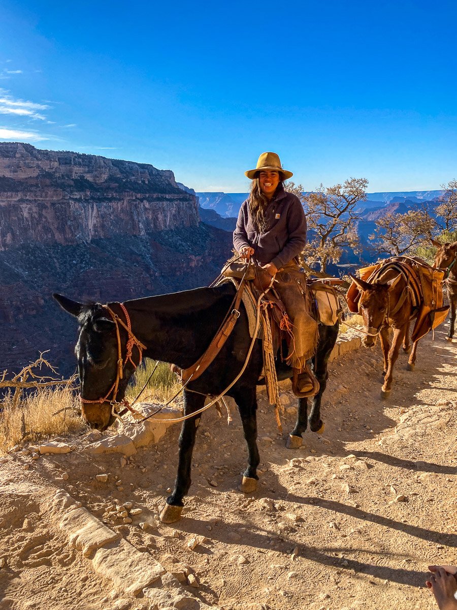
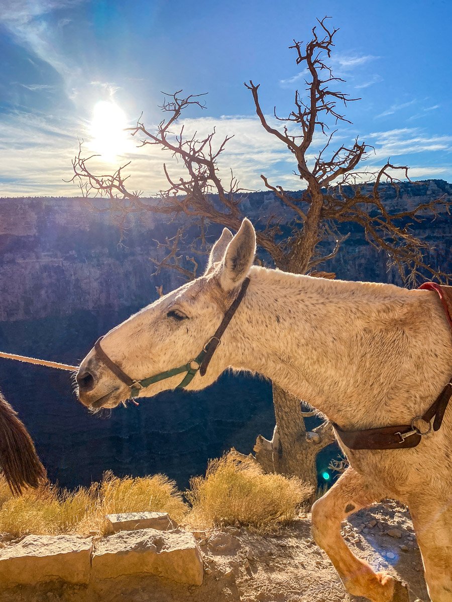
It’s possible to also rent mules to go down to the bottom of the canyon and back. The Grand Canyon Website has info on that HERE .
Even just 30 minutes into the trail, you can already feel the power of these great walls of history. If you want to geek out on the geology and understanding of how the canyon was formed and what all the different colors in the canyon mean, you can read this article on the Geology of the Grand Canyon


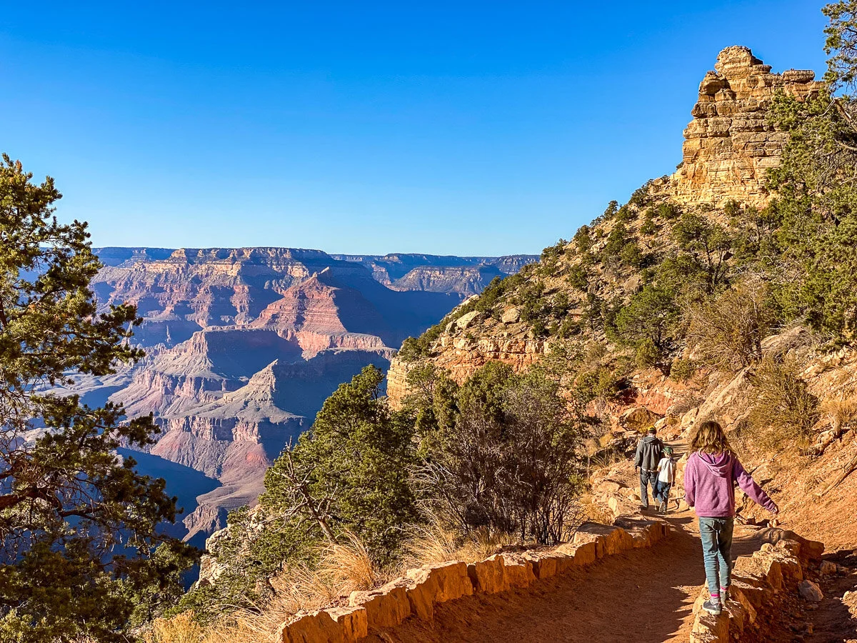
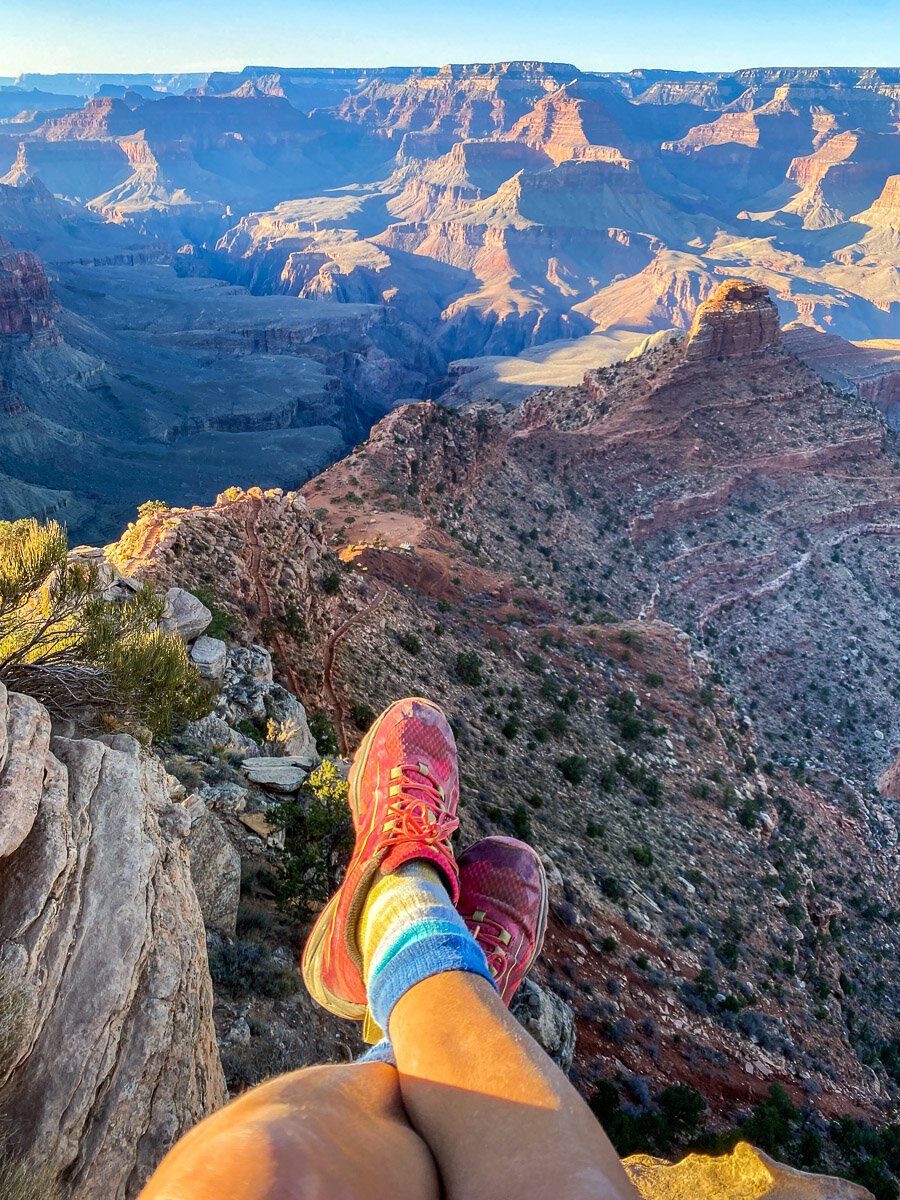
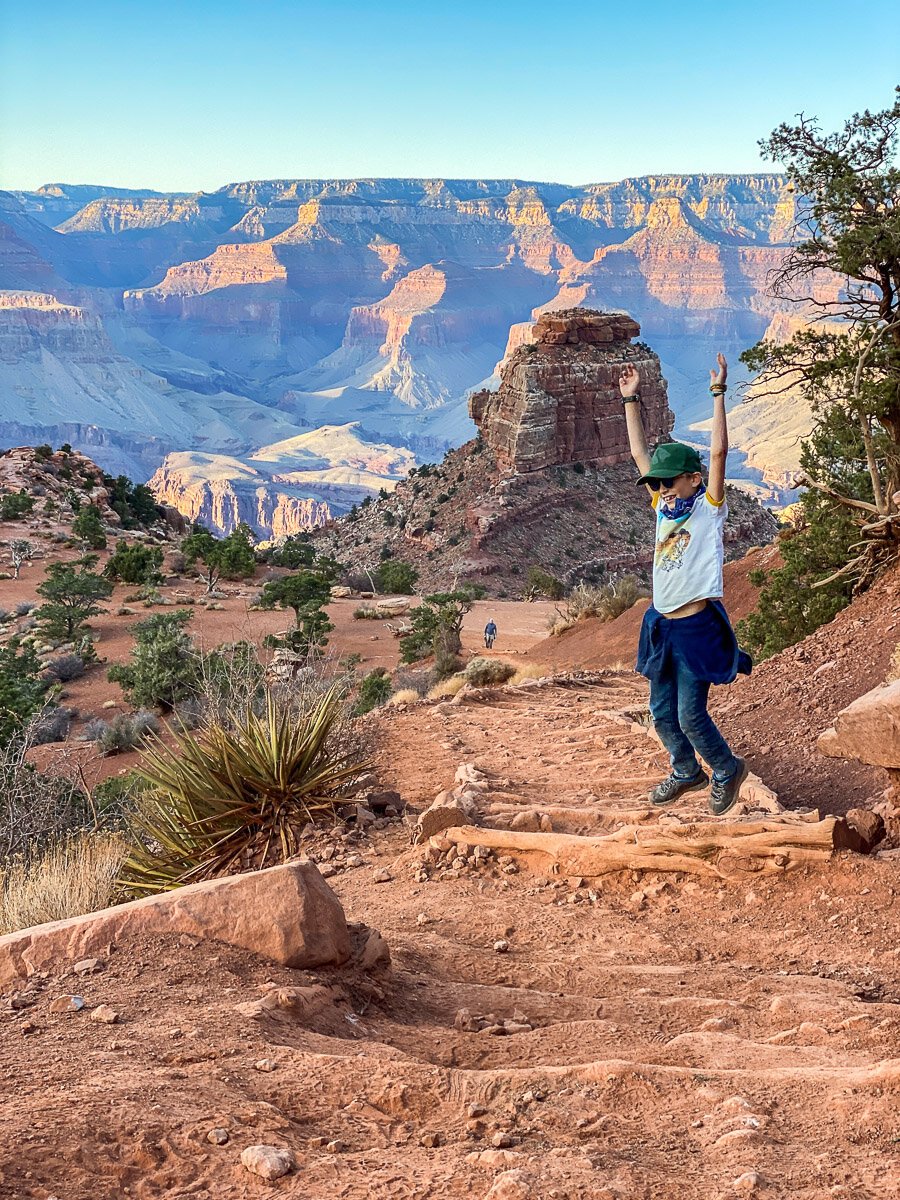
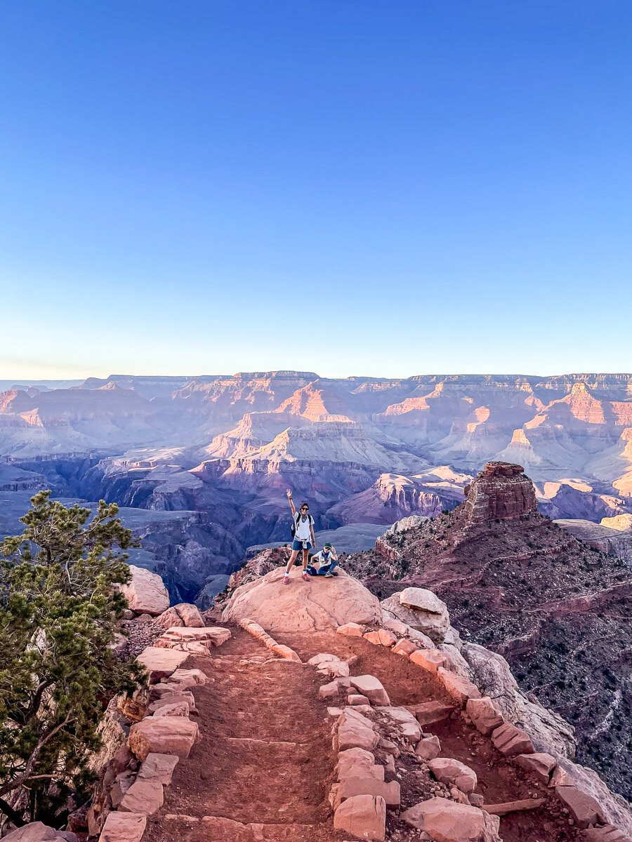
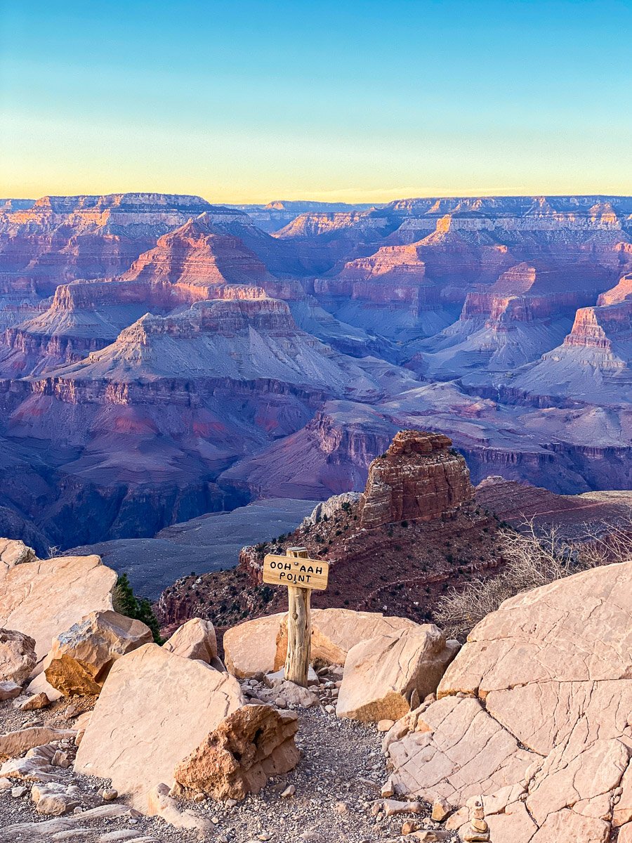
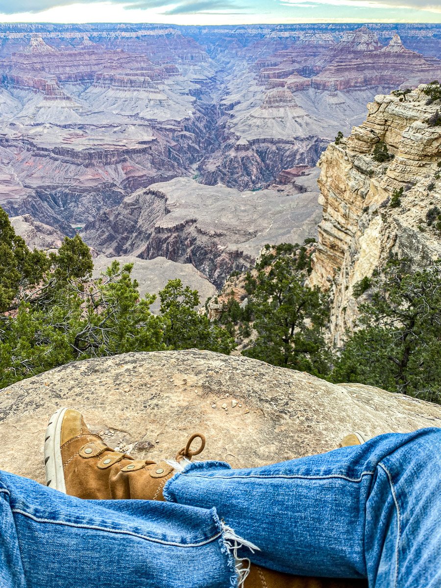
Almost a mile in, you hit Ooh aah point which is maybe the most aptly named point I’ve ever seen. Nothing else we could do but literally say “Ooh, Aah” and also, think about the steep trail we just came down, knowing that we’d have to go back up. If you did stop here and turn around at this point, it would be a 1.8 mile hike round trip.
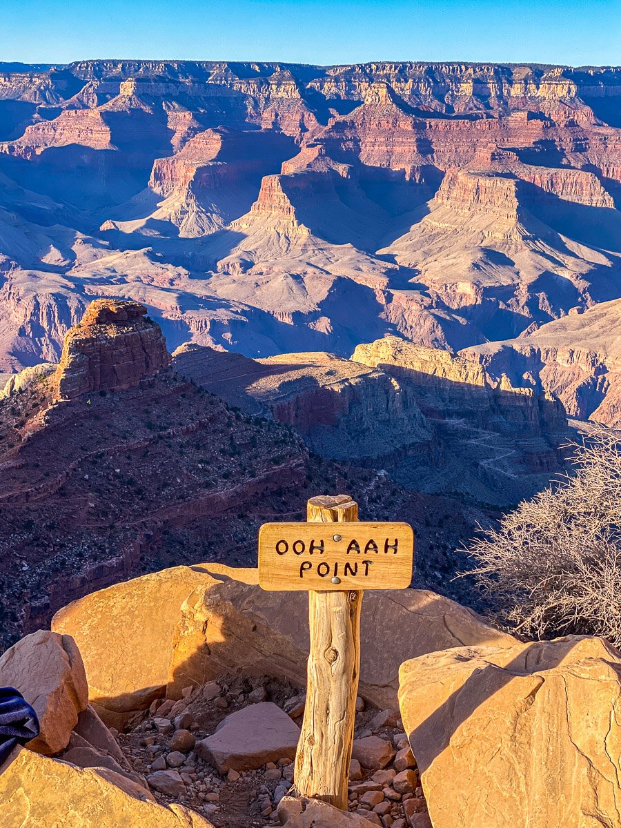

This is a perfect rest stop to take in the breathtaking views and snap some pics.
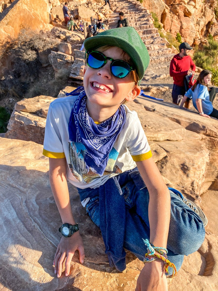

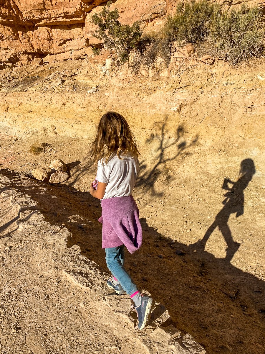
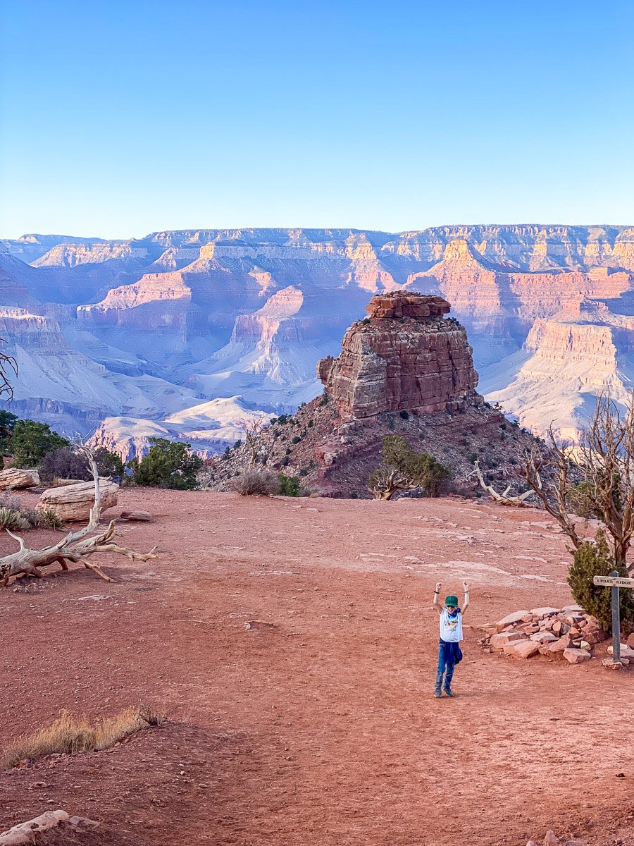
For most, this is far enough on this trail. For Macy, this was enough. But for Oliver who comes alive in the limitless bounds of nature, he wasn’t done. He also needed to pee and he swore he could see an outhouse down below on the trail. We are all rarely apart from each other, so I welcomed this opportunity to have some special time with my little guy.

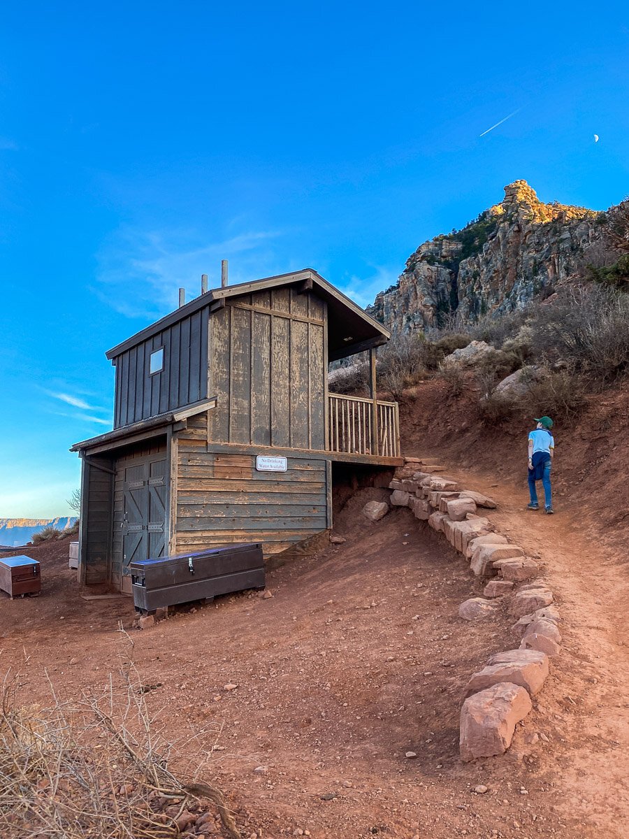
A parent’s greateest joy is seeing their child in their element and watching their soul come alive. We made it to the next outcropping another 1/2 mile down called Cedar Ridge where he thought he spied the bathroom. Upon approach he said the doors were locked and maybe it wasn’t a bathroom after all (once we started leaving we came across two men coming up the trail from the bottom and went straight into this outhouse, little 8 year old hands maybe are not so strong to open a heavy door and thus think it’s locked, oops!)
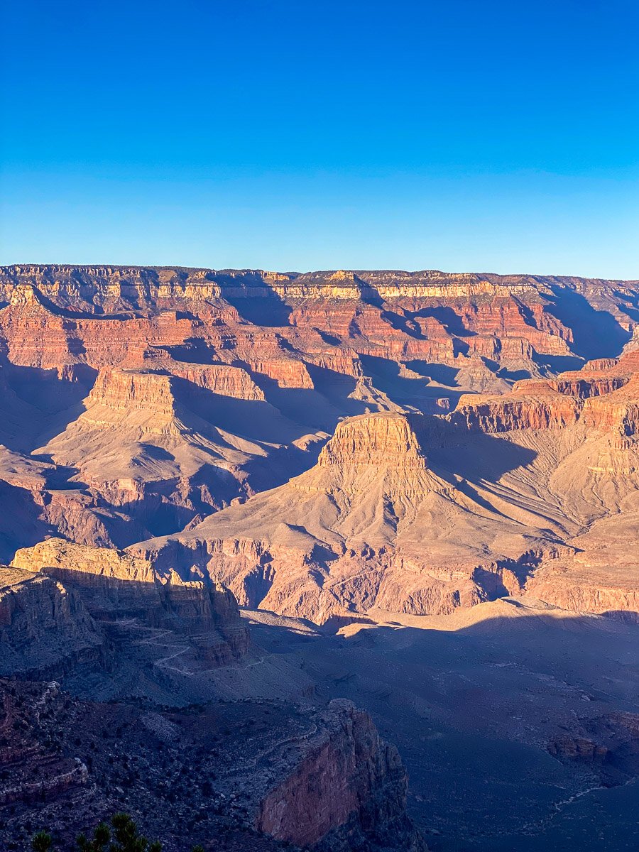
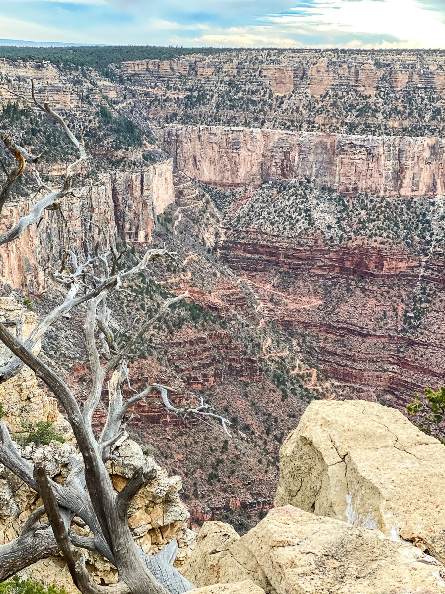
What a sight for a hike! Just could not get over it. It took everything in my bones not to continue on down this trail to see more. But, knowinig that the way up was going to be A LOT harder than the way down and I had an 8 year old with me, and my other 8 year old and their daddy was waiting for us at Ooh Aah point, we decided this was far enough for the day. Plus, the sun was starting to set and we did need to get out of the canyon before nightfall.


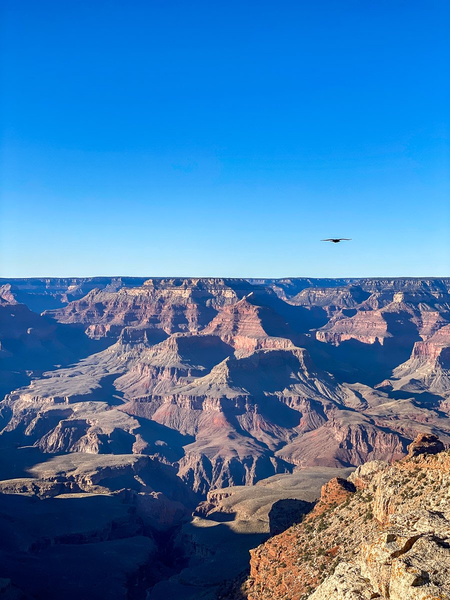
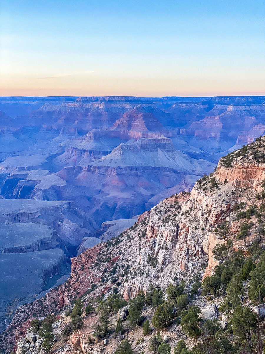
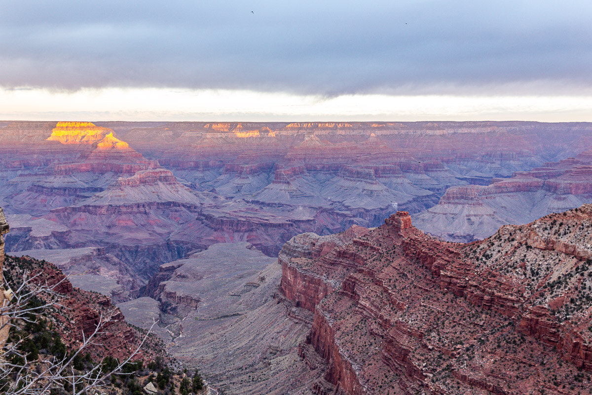
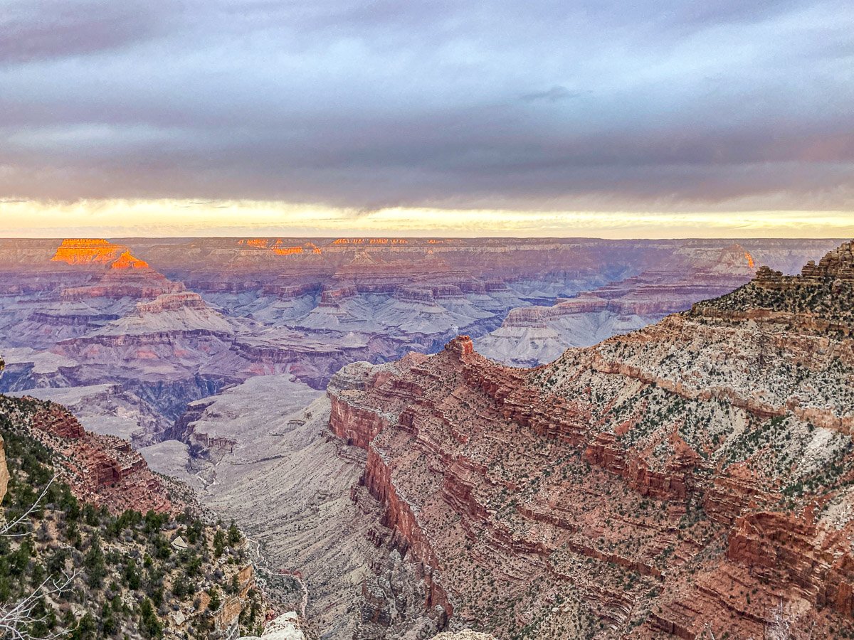
And now for the long trek back up the mountain. Past Ooh Aah point, which was even more ahh’ing with the sun setting and all the hues rising out of the canyon.
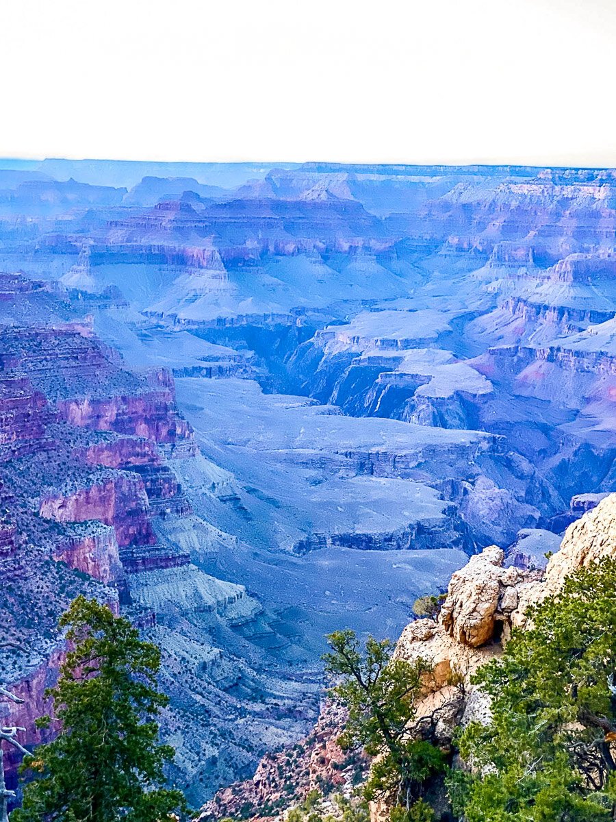
What an absolutely magical placer to watch the sunset! And crazy how the canyon turns blue instead of the bright oranges we’re used to seeing on the coasts of California

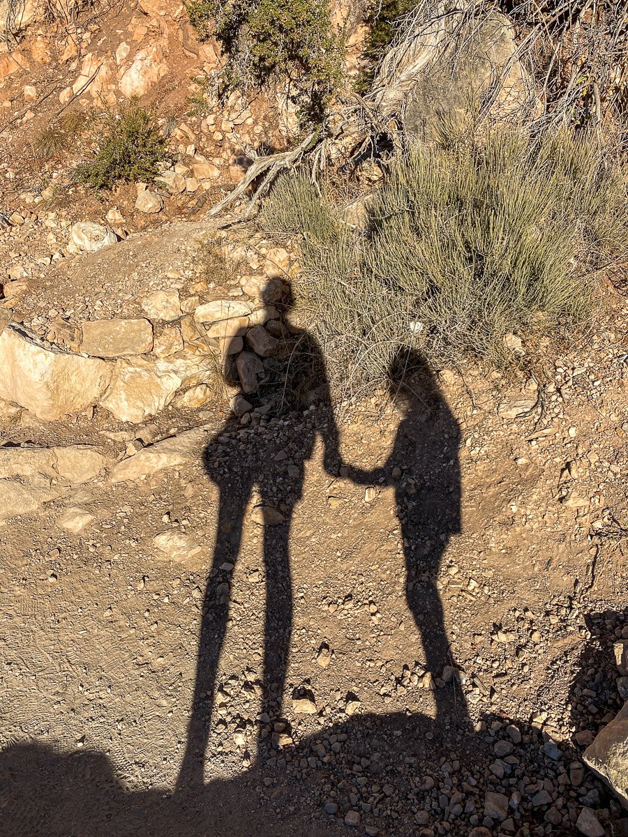
During my walk with Oliver, we had a chance to just sit still and look out on this great canyon. I felt the earth below me with my hands and heard a scream Save Me! This was not human, this was the earth. These lands have seen so much hardship, so much battle, so much struggle. It is our duty to protect them. Mother Earth gives and gives and gives. It is our turn now to give back. This task is overwhelming I know, but it can be small, bringing your own refillable water bottle everywhere, make sure you always have reusable bags, be aware of your carbon footprint. Or it can be big by donating to the Grand Canyon Conservancy volunteer with the National Park Service in a variety of ways.
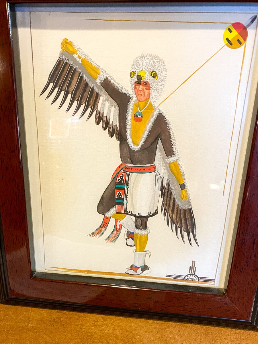
Native Americans and the Grand Canyon
These lands were also sights of major battles and massacres with the Native Tribes. Wherever you travel, I urge you to use the link to Territory Acknowledgement to read about the people that lived on that land before settlers came. The 6 tribes generally associated with the Grand Canyon are the Hualapai, Havasupai, Navajo, Hopi, Paiute and Zuni. You can learn more about each tribe HERE and HERE
Today, many tribes are still living in these areas and are tying in tourism on their lands. For example, the park also extends to the west where the skywalk is located, built on grounds of the Hualapai nation. The Skywalk is a large circular platform extending 70-feet out above the canyon. Hualapai means “People of the Tall Pines.” By the mid 1970s the tribe had established the Hualapai River Runners, the only Native American-owned river rafting company in the Grand Canyon. In recent years the tribe has invested in a number of other business ventures meant to draw tourists to their reservation, including Grand Canyon West—which includes a Native American village, arts and crafts market, song and dance performances. I urge you to look deeper into their website to support the tribe directly for any tourist activities you may be interested in.
Also, the Havasupai who refer to themselves as Havasu ’Baaja, which has been anglicized into Havasupai. The words mean “people of the blue-green waters.” They have 4 springfed waterfalls on their land. You are only able to hike into these areas with a permit released at intervals throughout the year. Peter has been trying to get these permits for years in a row to no avail. Tickets open at 8am and often sell out by 8:10 with massive website crashes all throughout the stressful 10 minute window. You can reserve these tickets by going directly to the Havasupai reservation site . You can read about the history of native americans in this area and particularly the Havasupai HERE To donate to the Havasupai covid relief fund and/or to learn more about the Havasupai tribe, head to their official website Havasupai Tribe.
Grand Canyon Day2
sunrise
For Day 2, the family split up so that I could get up to the canyon during sunrise. Be aware on the way to the entrance if you’re coming from Williams, there are lots of police just waiting to pull you over as you speed to catch sunrise. Speaking from personal experience here…. luckily I was let off with a warning as there really was nobody on the road and I completely spaced out. Because I was late, I simply went up to the main area of the Grand Canyon and fought the wind to find a spot. The looming clouds covered most of the canyon in a haze with only touching the tips of the canyon fingers. For multiple options on seeing the sunrise at the Grand Canyon, check out this article HERE.
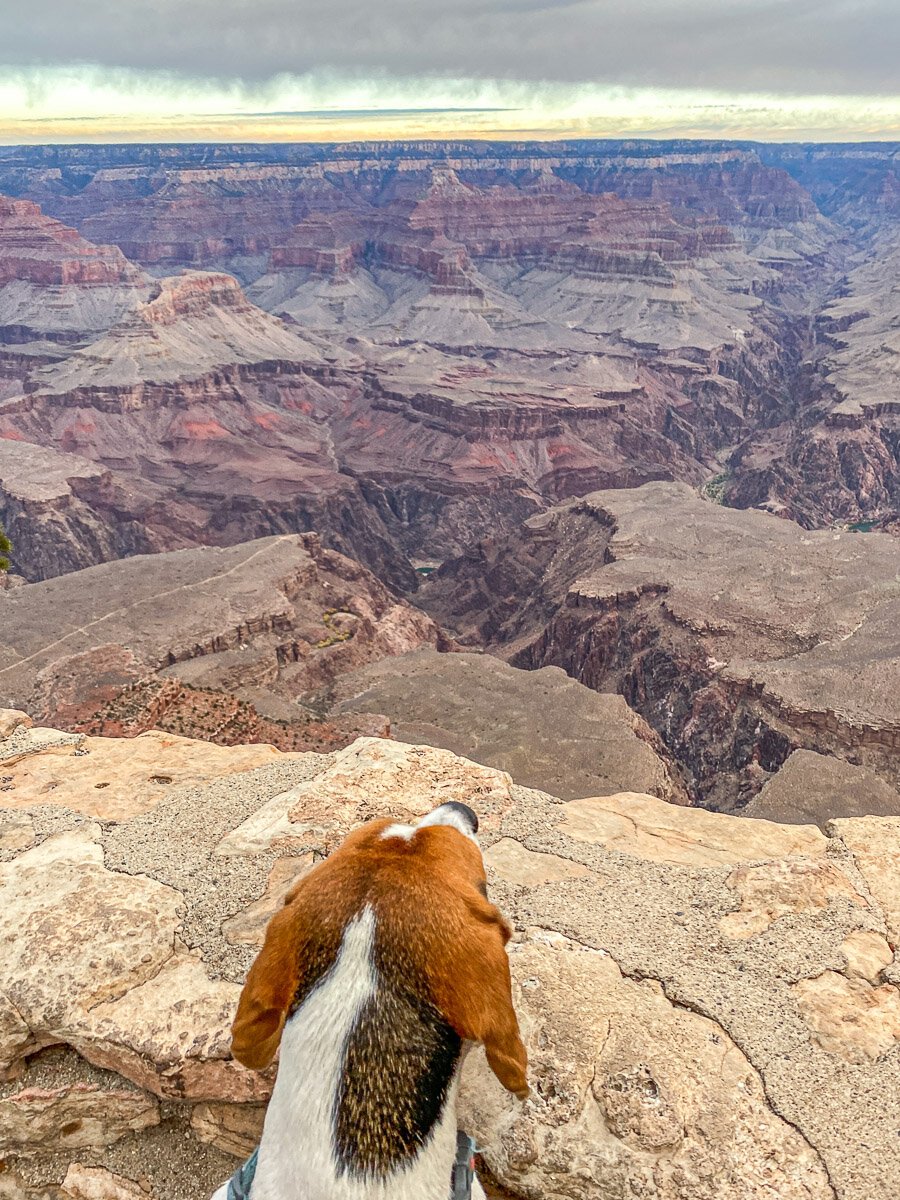
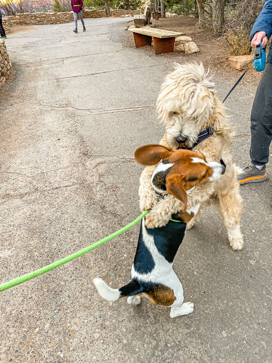
Dogs are not allowed on the hiking trails that go down into the canyon, but they are allowed on leash on all of the paved rim trails. Myke got a little early morning hug from a friend he made after taking in the expansive views.

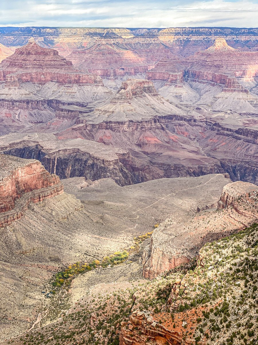
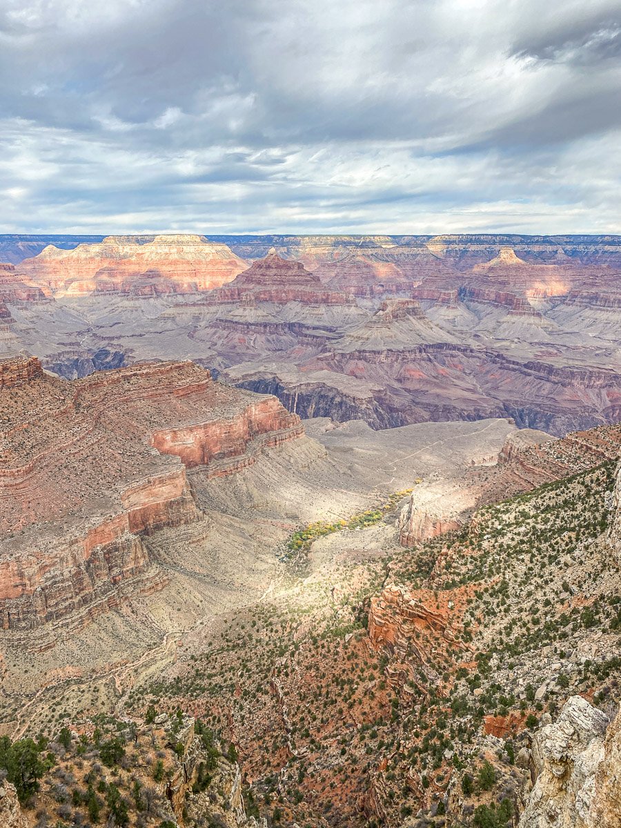
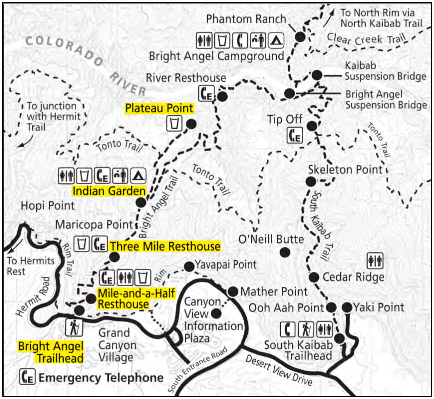
All of these views are from the Rim Trail, a paved, super easy walk along the edge of the grand canyon. This is the walk most people do when they don’t have enough time to do any of the trails that go down into the canyon. The park service has made this walk super informational so it’s fun with the kids as every few feet is another sign post giving some type of history lesson or geology information. This walk is 13 miles if you wanted to the full trail, but most people start at the village and meander east that can take you all the way to the South Kaibab Trailhead if you’re interested, or west passing the Bright Angel Trailhead, for a map of this trail, including all the lookout points, click HERE.

The rim trail is all paved, but it does pass through some outcroppings where you can really get out on the edge. Since my family took the train up and I was alone with just the dog, I had a chance to have a meditation on one of these outcroppings. Also on this rim trail, you get to see some of the trails that go into the canyon. You can see the faint lines above and below of the Bright Angel Trail.

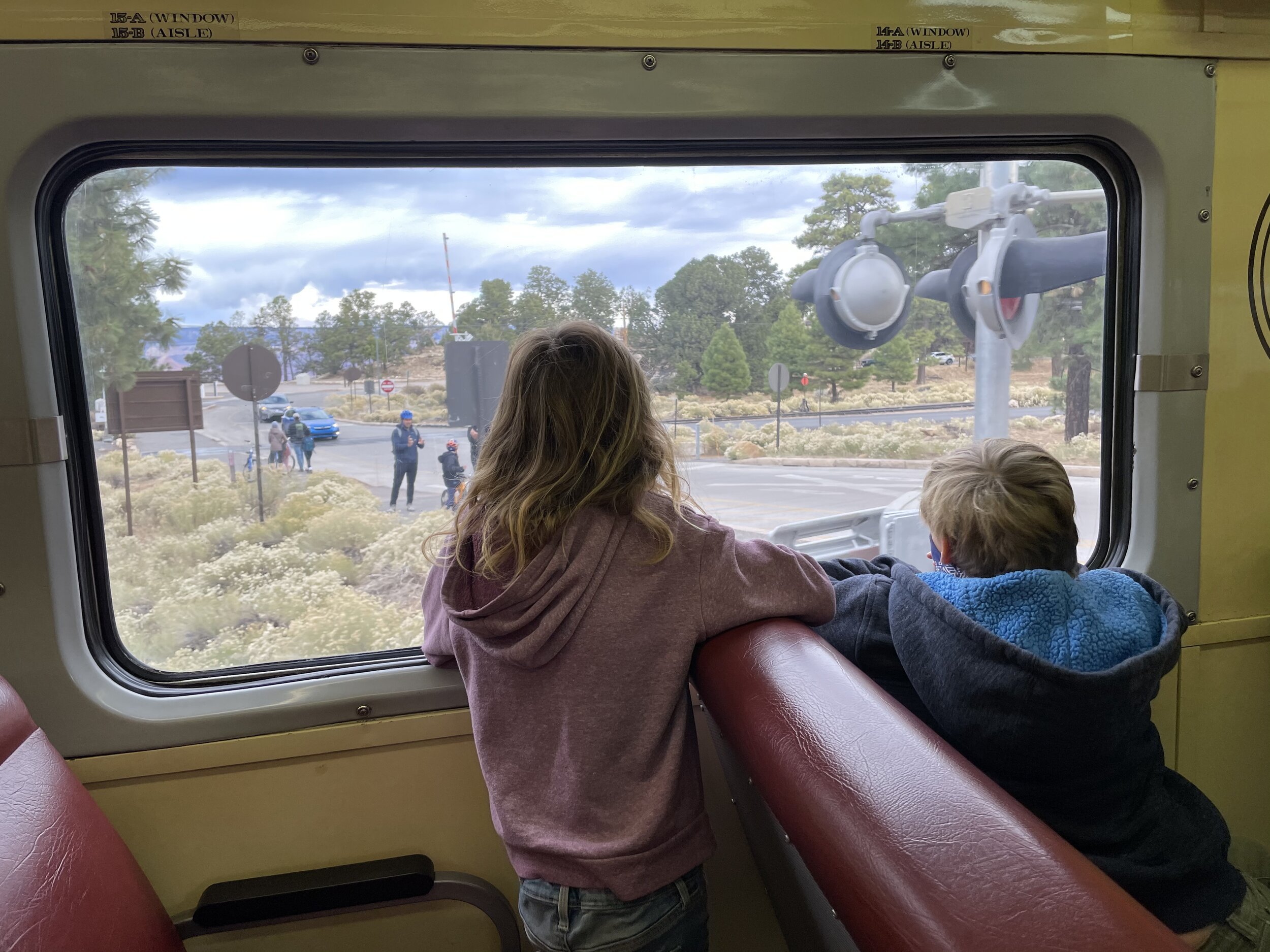
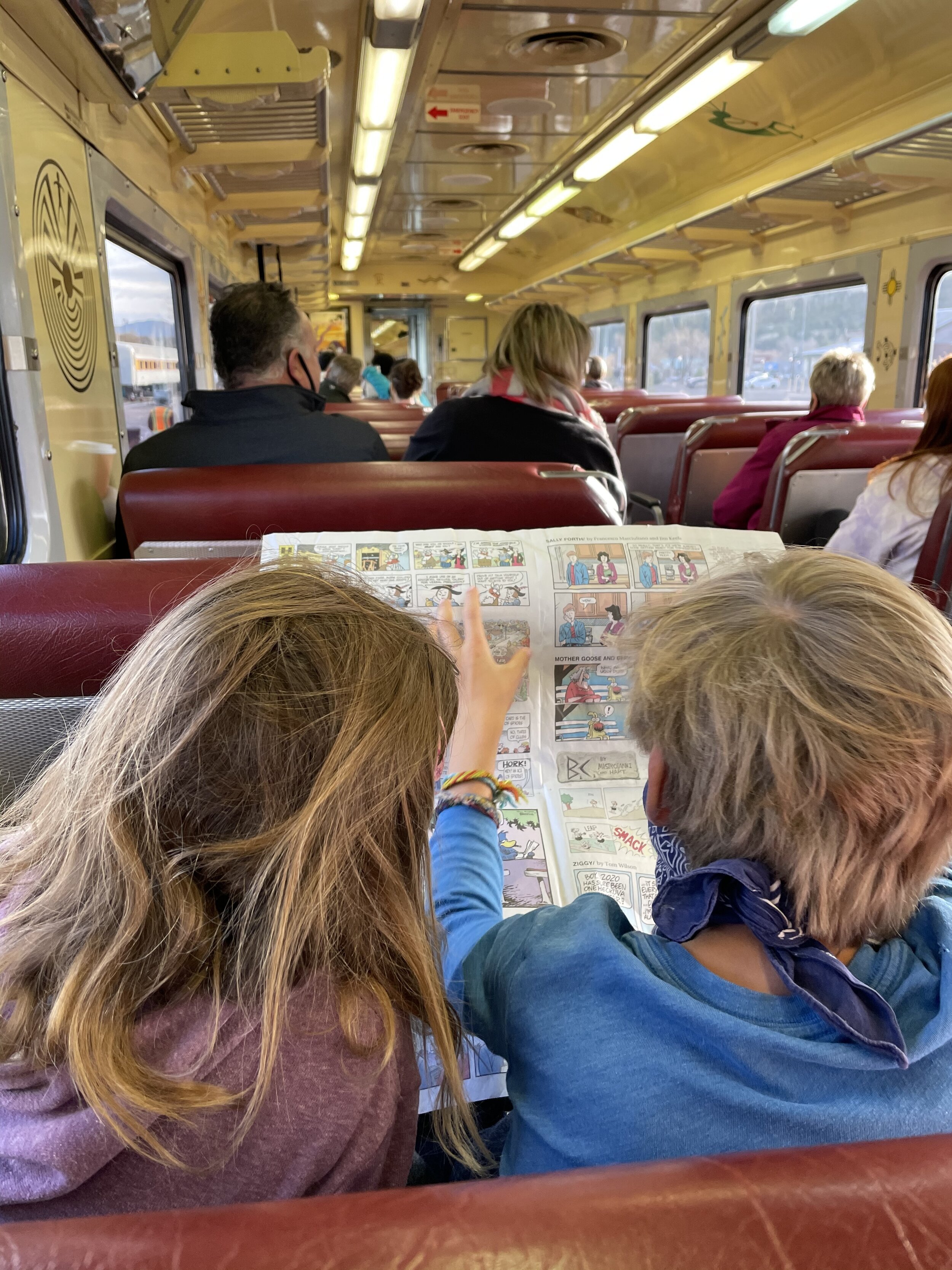
There is an option to take a train up into the Grand Canyon leaving from Williams, an hours drive away and a two hour train ride. You can find tickets for the train at The Grand Canyon Train website . During non covid times, there is entertainment, a fake cowboy robbery, music, etc. But the kids and Peter took it during covid, so all of this was limited with also only half the train full. The train conveniently drops you right in the heart of the village. From the train station, you can walk directly to the shops and dining and the various hotels in the village.


Where to Eat, Sleep and shop
Grand Canyon Village - This is the heart of commercial center of the Grand Canyon. Once the train came in in 1901, the village began it’s construction. The El Tovar hotel is the fanciest of the options here and also has an amazing dining room you need to experience if you can. Since it was covid time when we arrived, we did not choose this option and instead got hot dogs from a food truck posted right outside the long lined restaurant. If you’re looking for lodging in the Grand Canyon, fortunately, there is one site to view all the different options through the US Park Lodging site. The options range from hotel rooms to cabins to camping. From the village, you can pretty much explore all the touristy things on foot. From other gift shops to lodging to dining, it’s all right here in the village. You can stroll the rim trail and be perfectly content in this little area if you’re short on time and are not able to do a full hike into the canyon. Click here for a full list of restaurants and camping options as well as grocery stores in the general area, including outside of the park 7 miles down in Tusayan, the closest town. Click here for a Map of South Rim Grand Canyon to see that is available including bike rental in the marketplace zone.
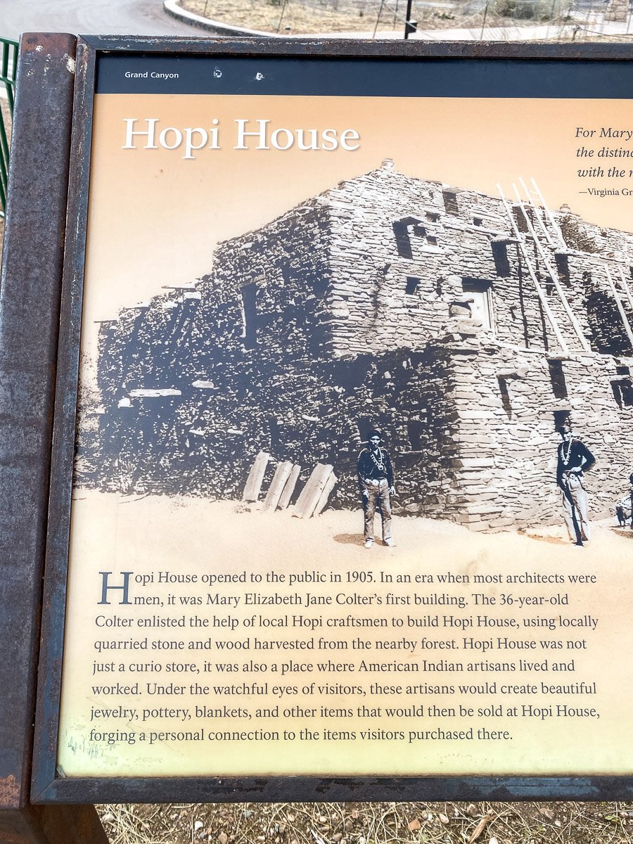
Macy is currently obsessed with all things Native American. She has been looking forward to seeing the Hopi house at the Grand Canyon, since she learned about it. She thought it would be a place where she could learn how the Hopi lived and so did I. We excitedly wandered over as soon as it opened, only to find out, it’s not at all a learning center, but just a git shop. However, it was constructed with the style of a Hopi house, yet the insides contain all kinds of crafts and touristy items from many tribes and general Grand Canyon trinkets. If you’re into that stuff, head on over. However, the house was originally created as a location where some Hopi did live and make crafts to sell directly to the pubic. Modern days have taken over and it’s all cash registers and glass. But there are some amazing items inside. The building was designed by one of the few female architects at the turn of the century, 36 year old Mary Elzabeth Jane Colter, who also designed the Desert View Watchtower, Hermit’s Rest and Lookout Studio all also in the park, but were all closed when we were there. She designed The Hopi House to be much of a replica of a real indigenous structure as possible, using the nearby Hopi village of Old Oraibi, the oldest continuously populated village in the US as a model.


Also from the village, you can walk to the Bright Angel Trailhead which is the most popular trail and also, most crowded due to it’s easy accessibility.

Have to admit that we were not feeling it this day. The trail was so much more crowded, it was mid day and we knew we needed to push on for the rest of our trip. We made it about 1/4 mile into the trail. When it started descending drastically, we knew exactly what that entailed, a hard climb back up. Without the power of the sunset or the novelty of going into the depth of the canyon for the first time, and the relatively empty trail like the day before, we decided to turn back and carry on with our travels, knowing that this was just a taste of what was yet to come when we headed to Bryce Canyon and Zion later.
General Info
We stayed in Williams, so I don’t have much to add on restaurant or any other things besides the village and the hike at the Grand Canyon. There is a town just outside the park entrance called Tusayan, this is where the Grand Canyon Visitor Center is located which has an Imax theater and all the information on booking at types of tours you could be interested. There is a wealth of knowledge here. You can buy a park pass here for day use or I highly recommend a yearly pass if you plan on hitting up multiple national parks. If you are planning on doing multiple parks, I’d suggest getting an American the Beautiful annual pass here before your trip as not all locations have the ability to issue an annual pass at their locations. The annual pass is $80. You have to carry this credit card thing around with you, there is no digital pass, so keep it somewhere safe!
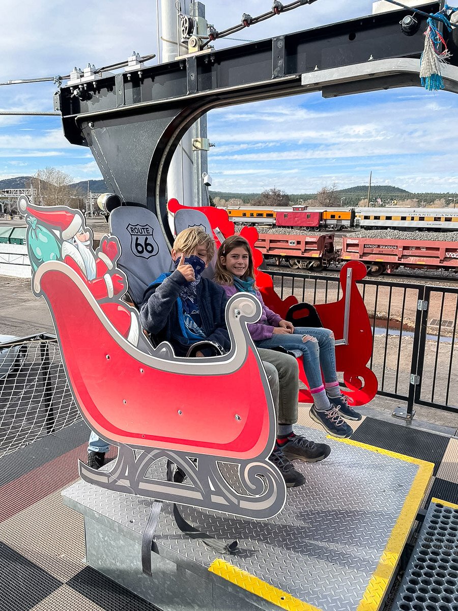
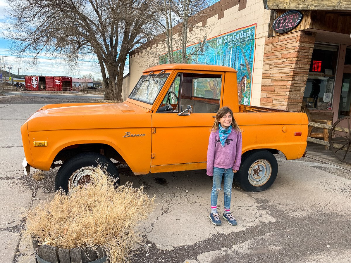
At first I was a bit disappointed we weren’t able to stay in the park, but staying in Williams ended up being great to change up the scenery a bit. The town of Williams is a super cute town and there’s lots of fun stuff for kids including the train, a zip line, plenty of window shopping in all the little shops in town and BeariZona , a drive thru wildflife park is close as well. We did not end up doing this, but I’ve heard it’s pretty cool. We rested our bodies in Williams so we had strength to carry on to Flagstaff and Sedona and Walnut Canyon National Park the next day of the road trip. If you’d like to read more about Williams, read the previous post, Southwest Road Trip Part 1, Los Angeles to Williams, AZ.